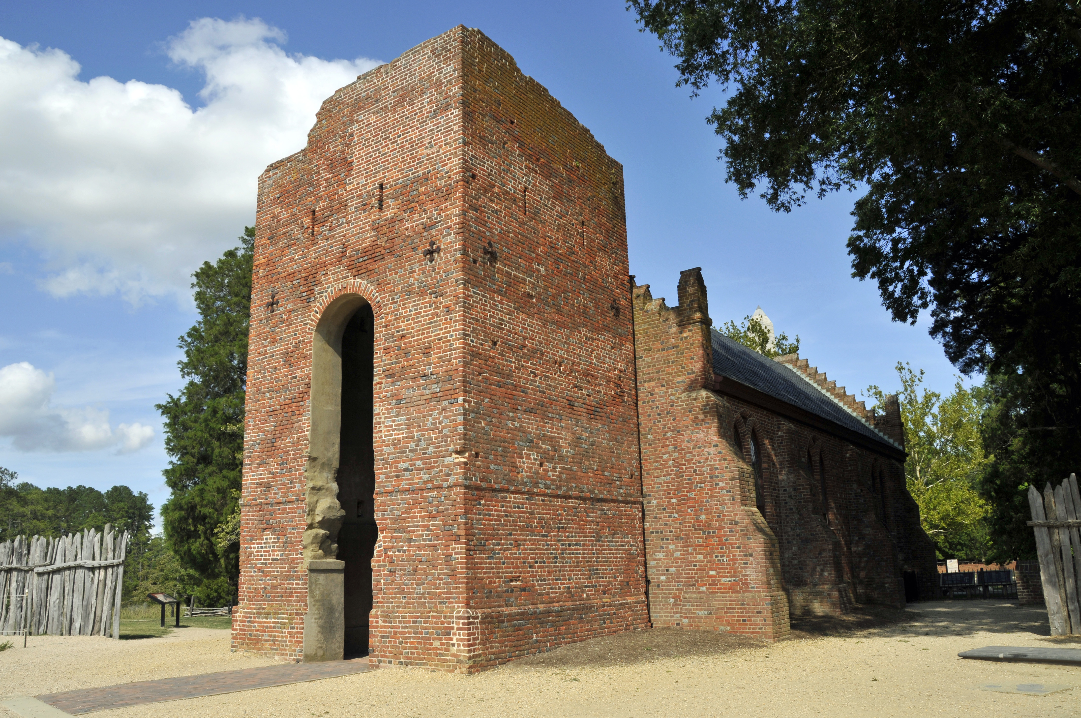
In the coming decades, climate change will radically reshape coastlines around the world. As ice sheets melt and ocean waters warm and expand, sea levels are expected to rise between one and two meters by the end of the century. The rising water will do more than just push current cities and their inhabitants further inland: A new study shows that sea level rise could drown tens of thousands of archeological sites in the southeastern United States alone, potentially destroying critical evidence about early North American settlements and their own responses to climate change.
For years, climate scientists have been sounding the alarm about sea level rise on the East Coast—where water levels are rising at three to four times the global average—and what that could mean for the East Coast’s most populous cities. Less frequently discussed is how sea level rise will affect the archeological records of historical human settlements in the region.
That’s partly because, until now, there was no central database keeping track of archeological sites. In the U.S., it falls on individual states to track their cultural resources. “States build these databases of archeological sites, and those are some of the most comprehensive data sets we have about human occupation of North America going all the way back to the Pleistocene,” says Eric Kansa, a study author and technology director at San Francisco’s Alexandria Archive Institute. “These are enormously rich data sets that are rarely used by the research community,” he says, because each state collects and describes its data in different ways.
In the new study, Kansa and his co-authors worked to create the Digital Index of North American Archaeology—a database that compiles data on more than half a million archeological sites across 15 states and transforms disparate forms of information into a cohesive, and comparable, whole.
The biggest challenge in creating the database wasn’t technological—it was deterring illicit activity. “One of the biggest concerns in archeology around the world, and in the U.S., is looting,” Kansa says. DINAA’s developers had to convince state-level officials that the data would not be misused. They were careful to remove sensitive information like specific site locations so that DINAA would not become “a map for looters,” Kansa says.
To demonstrate exactly how this huge data set could be used as both a research tool and for policy planning, the team decided to evaluate first how climate change might impact the archeological record.
“I think all of us were pretty surprised at the numbers,” says David G. Anderson, a professor of anthropology at the University of Tennessee and lead author on the new study. “It makes sense, people have been living near the coast for thousands of years, so we knew it would be high, but we had no idea it would be that high.”
The team found that a one-meter increase in sea levels, which could occur by the end of the century, would put 19,676 known archeological sites under water; a five-meter rise would drown over 32,000 sites.

(Photo: Wikimedia Commons)
Inundation is only part of the problem. As sea levels rise, sites in inland areas at higher elevations will also be at greater risk; a one-meter rise in sea level could displace an estimated three million people, for example, and development to accommodate relocated populations or to try to stave off flooding—like the construction of seawalls—could also destroy archeological sites.
While the sheer number of threatened sites surprised the researchers, they also say it’s almost certainly an underestimation. The thousands of sites recorded in DINAA are just those that have been documented so far, and they are likely only a tiny fraction of archeologically significant locations in the region, according to Anderson. “We haven’t even begun to comprehensively survey the coastal margins,” he says.
DINAAs developers hope to continually expand the database, linking all kinds of information to each archeological site, which could someday help policymakers decide which sites can and should be preserved. How can we know what should be saved until we know what’s there to save? “If we’re going to deal with the loss of our heritage,” Anderson says, “we really need to be looking at the entire picture.” When Sarah Kansa, the executive director of the Alexandria Archive Institute and a study co-author, describes DINAA, she says to picture a map covered in pegs—one for each archeological site. “Different things will be able to be hung on those pegs—new papers, reports, radiocarbon dates,” she says. “Over time, these sites will be enriched by more and more content.”
But only a small fraction of the existing sites have been extensively covered in the scientific literature so far. The researchers performed a preliminary search of data repositories to start hanging research papers and reports on each of those digital site pegs, but they found publications on less than 1 percent of the sites. “We’re really at the very beginning stages of our understanding of North American heritage,” Eric Kansa says. And valuable evidence is about to disappear.
Sea level rise is going to create a crisis along America’s coasts, and the authors recognize that, when that happens, archeology is unlikely to be a priority. We need to put policies in place to make decisions about what can and should be saved that include input from indigenous communities and any other stakeholders, says Eric Kansa, “and we need to do this all before the crisis actually hits.”


